The Vision Zero Action Plan, adopted in July 2020, is a priority initiative of the Mayor and Council to create safe and livable neighborhoods.
First introduced in Sweden in 1997 as a countrywide response to increasing traffic fatalities and serious injuries, the concept of the initiative is to make the health and safety of humans the top priority in road network design.
The Mayor and Council resolution “endorses Vision Zero as a comprehensive and holistic approach” to achieving the goal. It calls for guidelines that “identify a combination of equitable engineering, enforcement, education and evaluation, along with associated funding needed for the city to reach the goal toward zero deaths and serious injuries by 2030.”
Get Involved with Vision Zero
Vision Zero Progress
Reports are provided to the Mayor and Council detailing the progress made for action items in the Vision Zero Action Plan.
 Vision Zero Progress Dashboard
 Vision Zero High Injury Network
September 2025 Progress Report
September 2025 Presentation
September 2025 Presentation Video to Mayor and Council
March 2026 Progress Report
March 2026 Presentation Slides
March 2026 Presentation Video to Mayor and Council
March 2026 Presentation Additional Questions
March 2026 Vision Zero Projects Map
Vision Zero High Injury Network
September 2025 Progress Report
September 2025 Presentation
September 2025 Presentation Video to Mayor and Council
March 2026 Progress Report
March 2026 Presentation Slides
March 2026 Presentation Video to Mayor and Council
March 2026 Presentation Additional Questions
March 2026 Vision Zero Projects Map
Post-Crash Inspections
After a fatal crash in Rockville, the Montgomery County Collision Reconstruction Unit (CRU) manages the crash investigation and prepares the CRU crash report. Unlike property damage or minor injury crashes, this process can take several weeks to complete. While the CRU prepares its report, the city conducts a Vision Zero Post-Crash Inspection.
The Public Works Department inspects the roadway pavement, sidewalks, curb ramps, signs, and pavement markings; confirms that the traffic signals and pedestrian signals are operating appropriately; and assesses whether the streetlights are working and whether lighting is sufficient. Additionally, the Communications and Community Engagement Department posts Vision Zero safety messages relevant to all modes of travel. Lastly, the Rockville City Police Department determines whether additional enforcement for pedestrians and motorists is necessary.
Memos of the post-crash inspection findings can be found below:
Dec. 26, 2023: Veirs Mill Road (MD 586) and Atlantic Avenue
Sept. 24, 2024: Hungerford Drive (MD 355) and Beall Avenue
June 18, 2025: Frederick Road (MD 355) and Watkins Pond Boulevard/Indianola Drive
Nov. 21, 2025: East Jefferson Street and Rollins Avenue
March 1, 2026: Norbeck Road (MD 28) and Avery Road
March 22, 2026: Norbeck Road (MD 28) and East Gude Drive
April 16, 2026: North Horners Lane and Southlawn Lane
Traffic Collision Data
The Automated Crash Reporting System (ACRS) collects data from all law enforcement agencies in Montgomery County and provide details of all traffic collisions on state, county, and municipal roadways. Incident data, drivers data, and non-motorists data is provided on the Montgomery County data portal, Data Montgomery, which is updated every week. The ACRS data shared on Data Montgomery includes information on all traffic collisions that take place in the City of Rockville. Data can be accessed at the following links:
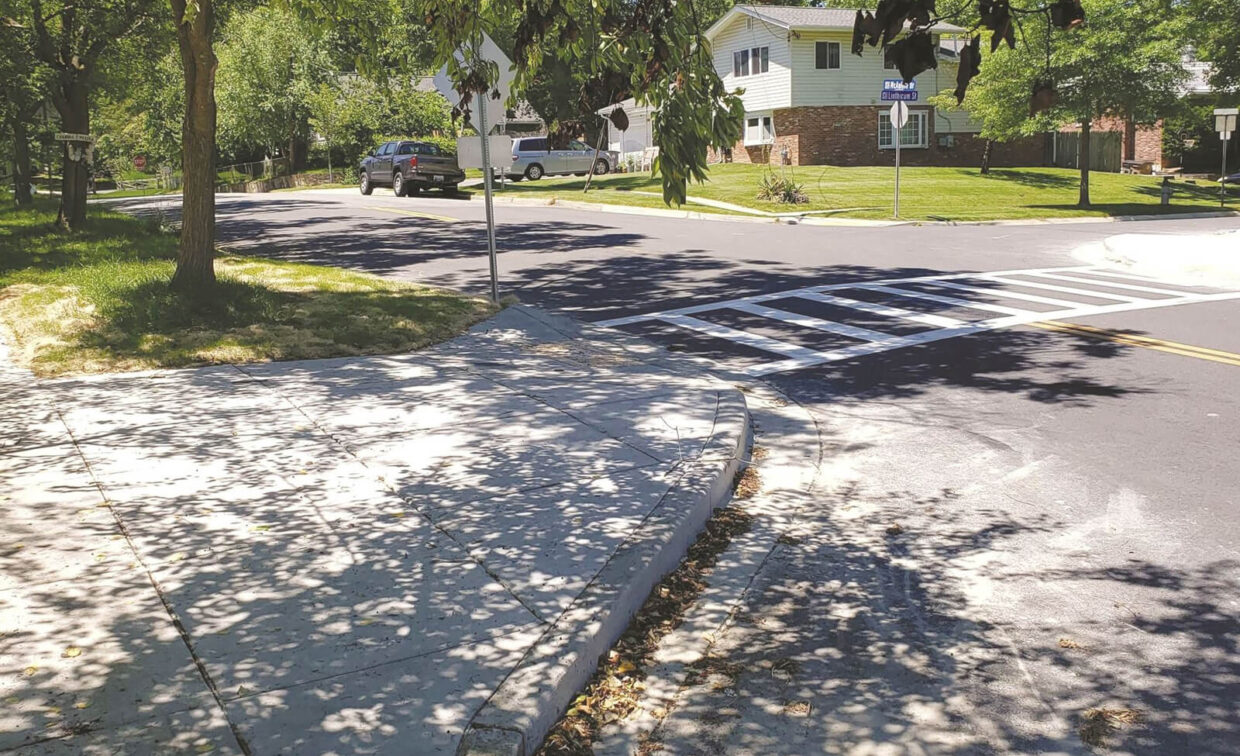
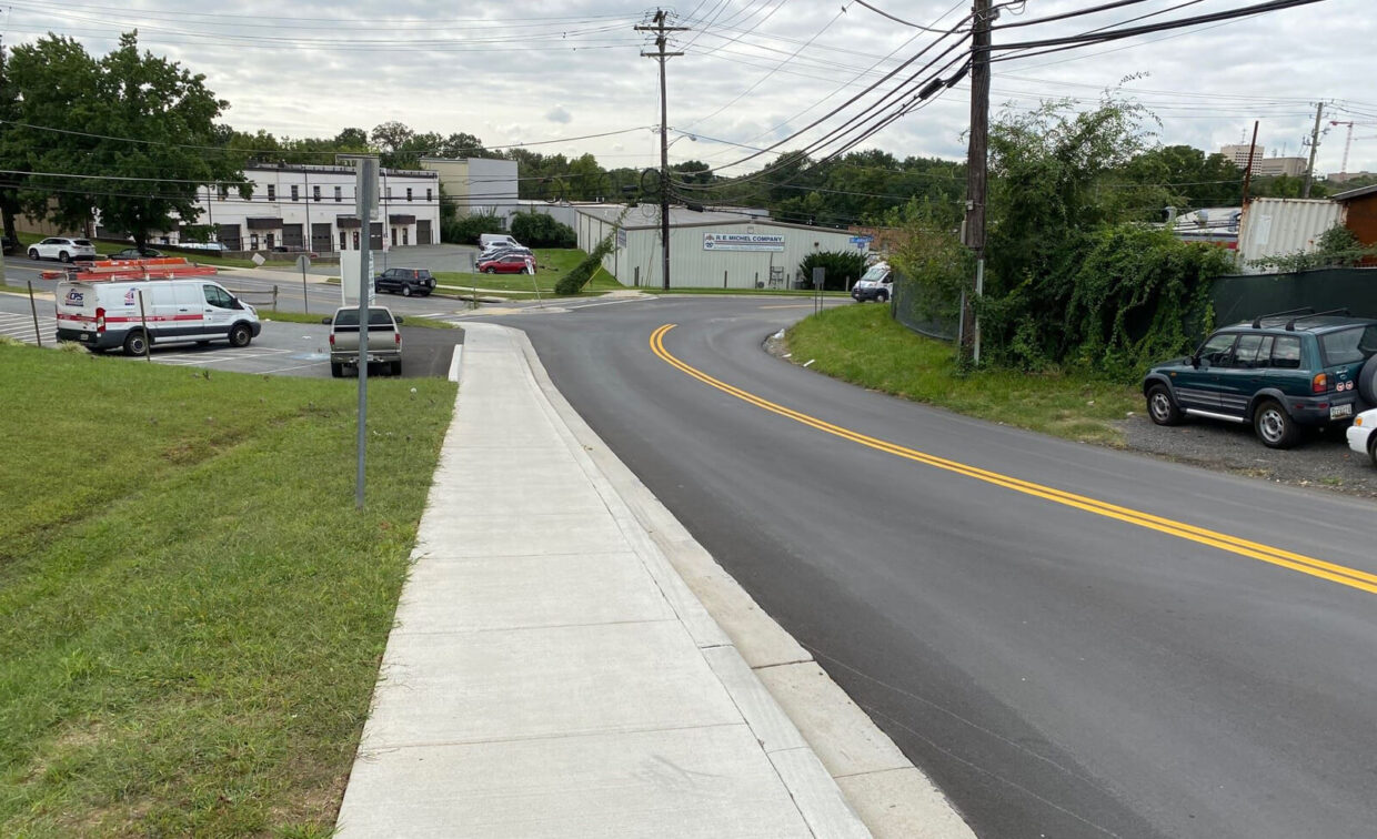
Vision Zero Projects
The City of Rockville regularly plans and carries out transportation projects to improve safety for people driving, walking, rolling, bicycling, and using transit. While projects can often take several years between conception to implementation, some of the recently completed and ongoing projects include the following:


The Department of Public Works completed intersection safety audits for 30 intersections within the City of Rockville. The studied intersections included 10 city-owned and maintained intersections, and 20 state-owned and maintained intersections. This project was completed with grant funding from the Safe Streets and Roads for All Program.
The study for each intersection included an evaluation of the existing traffic patterns, crash history, roadway alignment and intersection geometry, and proposed near-term and long-term roadway safety improvements for all roadway users.
The studied intersections were:
| Intersection Number | Street | Cross Street |
|---|---|---|
| 1 | First Street (MD 28) | Baltimore Road |
| 2 | Frederick Road (MD 355) | Watkins Pond Boulevard |
| 3 | Frederick Road (MD 355) | Ridgemont Avenue |
| 4 | Hungerford Drive (MD 355) | North Washington Street |
| 5 | Hungerford Drive (MD 355) | Mannakee Street |
| 6 | Hungerford Drive (MD 355) | Beall Avenue |
| 7 | Norbeck Road (MD 28) | Avery Road |
| 8 | Rockville Pike (MD 355) | Edmonston Drive |
| 9 | Rockville Pike (MD 355) | First Street/Wootton Parkway |
| 10 | Rockville Pike (MD 355) | Templeton Place |
| 11 | Rockville Pike (MD 355) | Congressional Lane |
| 12 | Rockville Pike (MD 355) | Veirs Mill Road (MD 28) |
| 13 | Rockville Pike (MD 355) | Richard Montgomery Street |
| 14 | West Montgomery Avenue (MD 28) | Hurley Avenue |
| 15 | Rockville Pike (MD 355) | Talbott Street |
| 16 | Viers Mill Road (MD 586) | Woodburn Road |
| 17 | First Street (MD 28) | Grandin Avenue |
| 18 | Viers Mill Road (MD 586) | Broadwood Drive |
| 19 | Hungerford Drive (MD 355) | Frederick Avenue |
| 20 | Rockville Pike (MD 355) | Mount Vernon Place |
| 21 | Wootton Parkway | Pasture Brook Way |
| 22 | Wootton Parkway | West Edmonston Drive (North) |
| 23 | King Farm Boulevard | Grand Champion Drive |
| 24 | Redland Boulevard | Pleasant Drive |
| 25 | Redland Boulevard | Thompson Dairy Way |
| 26 | Gaither Road | Piccard Drive |
| 27 | East Jefferson Street | Congressional Lane |
| 28 | Halpine Road | Shopping Center Entrance |
| 29 | Baltimore Road | South Stonestreet Avenue |
| 30 | Woodland Drive | Park Road |
The Intersection Safety Audit Report was completed in June 2026. The appendices include background data, existing conditions, near miss summaries, and field visit notes.
The Mayor and Council approved the Pedestrian Master Plan on Oct. 30, 2023. The plan provides an overview of the pedestrian network and identifies policy and infrastructure improvements to address unique issues faced by people walking and rolling.
The city completed a feasibility and design study exploring bicycle facilities on Martins Lane between Mannakee Street and N. Washington Street. The Bikeway Master Plan proposes a bicycle lane on this street, and the Vision Zero Action Plan directs staff to extend the safe bicycling network. Bicycle facilities on Martins Lane will connect to the separated bicycle lanes on N. Washington Street and provide better access to the Rockville Swim and Fitness Center for families.
It is anticipated that in the spring of 2027, bicycle lanes will be added to Martins Lane between Mannakee Street and the entrance to the Rockville Swim and Fitness Center, and shared lane markings will be added between the Rockville Swim and Fitness Center entrance and North Washington Street.
As part of a Metropolitan Washington Council of Governments Regional Roadway Safety Program project, the city studied complete streets improvements along Rollins Avenue between its western terminus, near Evelyn Drive, and Rockville Pike (MD 355). The city evaluated traffic calming improvements such as speed humps, curb extensions, and pedestrian refuges; traffic operational improvements such as restricting right turns on red, modified signal timings, and additional left turn lanes; and bicycle improvements such as shared lane markings. This study was completed with funding from the Metropolitan Washington Council of Governments’ Regional Roadway Safety Program.
A virtual presentation was held on May 7, 2026, and the presentation slides and recording are available.
The Rollins Avenue Complete Street Study final report was completed in June 2026. Appendices are also available for review. The Department of Public Works will evaluate the finalized recommendations and determine which improvements to construct as available resources permit.
The Stonestreet Corridor Complete Streets Design project is an ongoing project by the Department of Public Works to prepare an engineering design plan for North Stonestreet Avenue between Lincoln Avenue and Park Road and along Park Road between North Stonestreet Avenue and South Stonestreet Avenue.
The proposed improvements include new ADA-accessible sidewalks on both sides of North Stonestreet Avenue, bicycle lanes, sidewalk buffer, and accessible curb ramps. A new intersection design for South Stonestreet Avenue and Park Road is included as well. These improvements are expected to improve access, mobility, and safety for people driving, walking, and bicycling, and were first introduced in the Stonestreet Corridor Study and reiterated in the city’s Rockville 2040 Comprehensive Plan.
A public meeting to share the 30% design was held on June 2, 2026. The recording and presentation for that meeting is available and comments from residents can be submitted to transportationinquiry@rockvillemd.gov through June 15, 2026.
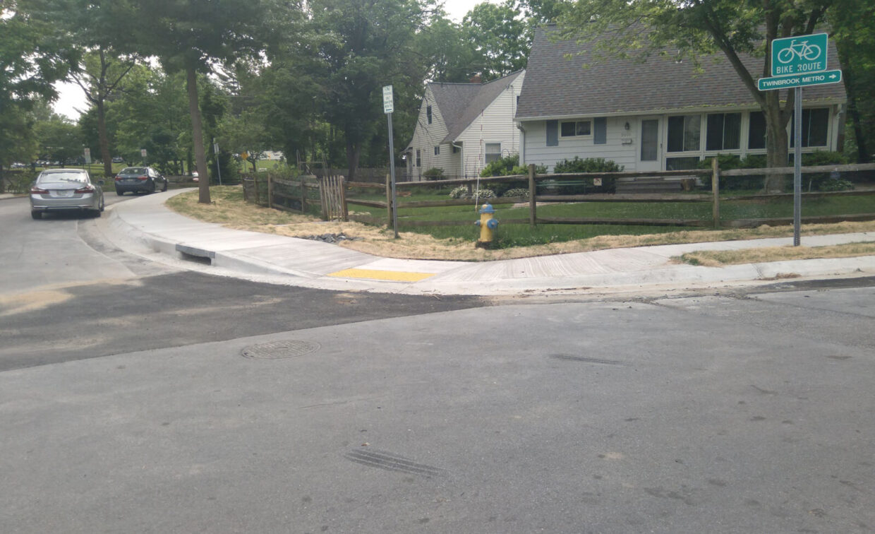
The Department of Public Works is currently evaluating bicycle facilities and traffic calming improvements along Lewis Avenue and Halpine Road approaching the pedestrian and bicycle entrance to Twinbrook Metro station. The study will evaluate crash history and near misses, traffic activity, and roadway design along these routes to improve the pedestrian and bicycle access to the metro station. This project is funded through the Metropolitan Washington Council of Governments’ Transit Within Reach program.
An existing conditions report was completed in June 2026. Preliminary recommendations will be shared with the public for their comment and feedback.
As part of a Metropolitan Washington Council of Government’s Regional Roadway Safety Program project, the city developed new guidelines to help direct staff to install crosswalks and ancillary improvements to help pedestrians cross the street in Rockville.
The crosswalk guidelines were approved by the director of the Public Works Department and are currently in use.
The Baltimore Road Improvements project included roadway repaving and improved drainage, stream restoration, new sidewalks, and a shared use path along Baltimore Road between MD 28 (First Street/Norbeck Road) and the city limits.
The Twinbrook Safe Routes to School and Transit Accessibility Study was completed in fall 2024. This study evaluated the feasibility of constructing sidewalks along seven sidewalk gaps and identifying safety improvements at eight intersections in the Twinbrook neighborhood. The study was funded by the federal Transportation Alternatives grant and was implemented with support by the Maryland Department of Transportation.
The completed reports for each sidewalk gap and intersection are available below. City staff has reviewed the findings from each of the reports and has advanced three sidewalks to design, and three intersections to design and construction for this year. The remaining sidewalks and intersections will be reviewed and implemented in a future fiscal year.
Additional questions about the study can be emailed to Bryan Barnett-Woods, project manager, at bbwoods@rockvillemd.gov.
Sidewalks
Sidewalks deemed feasible and will advance to construction in FY26:
Sidewalks deemed feasible and will advance in a future fiscal year:
Sidewalks deemed infeasible and will be reevaluated after all other city sidewalk gaps are studied:
Intersections
Intersection improvements to advance and implement:
Intersection improvements to advance and implement in a future fiscal year:
Intersection improvements that require additional evaluation and study:
The city recently evaluated complete streets improvements for Congressional Lane, between Rollins Avenue and Rockville Pike (MD 355). Complete streets improvements include traffic calming measures to reduce motor vehicle speeds, bicycle lanes and pedestrian facilities. This project was fully funded by the Metropolitan Washington Council of Governments through the Transportation Land Use Connections Program. The Public Works Department will consider the findings and public input from this study as this project advances toward the design and implementation phases.
The city recently completed evaluating three bicycle facility alternative roadway improvements along East Jefferson Street between Rollins Avenue and Congressional Lane, and along Halpine Road between East Jefferson Street and Rockville Pike. This study and design project was funded through a Kim Lamphier Maryland Bikeways Network grant.
A virtual public meeting to discuss the three alternatives and to receive comments and questions was held on April 30, 2025. The completed study is available online. Department of Public Works staff will use the study to guide the bicycle facility improvements in a future project.
The City of Rockville recently completed a feasibility study for designing and constructing a shared use path along Scott Drive and Veirs Drive between the city boundary and Wootton Parkway, with a connection to the Carl Henn Millennium Trail. This shared use path will be one component of a Bikeway Master Plan “Crosstown Route.”
Staff completed an analysis of the Redland Boulevard demonstration project conducted from Sept. 21 – Oct. 17, 2025. The demonstration project repurposed one travel lane in each direction between Gaither Road and Elmcroft Boulevard into parking lanes. Based on the collected data and an evaluation of the benefits and impacts, staff determined that the demonstration project should not be implemented permanently.
The demonstration project indicated that repurposing the outside travel lanes reduced overall speeds in both directions. Also, the demonstration project significantly increased eastbound traffic congestion during p.m. peak periods, however westbound and non-peak period traffic congestion were not substantially impacted. However, the utilization rate for the new on-street parking was very low.
Below are the key findings of the demonstration project:
- A 98% reduction in speed camera citations compared to the 2025 monthly average.
- Overall, 85% of motor vehicles traveled at or below the posted speed limit.
- Increased traffic congestion in the eastbound direction during the afternoon peak.
- No substantial change in congestion in the westbound direction or during off-peak periods in both directions.
- No significant impact on traffic volumes.
- Very low on-street parking utilization.
- Similar level of crash activity before and during the demonstration.
- Increased buffer for pedestrians.
- Most public comments received opposed the permanent implementation of the improvements.
Repurposing the travel lanes can improve multimodal transportation, pedestrian’s perception of safety, and help modify the roadway to better reflect its surroundings. However, the congestion created in the eastbound direction was significant and outweighs the overall benefits.
Based on the study and analysis, staff will not advance a permanent project to repurpose travel lanes on Redland Boulevard. Staff will continue to evaluate options to improve safety along this road, including a possible curb extension at Elmcroft Boulevard in the eastbound direction. Staff will also evaluate other pedestrian safety treatments at other intersections, if feasible. Finally, staff will continue to work with Rockville City Police Department staff to evaluate options for speed reduction along Redland Boulevard as needed.
The city completed a feasibility study to evaluate complete streets improvements for Mannakee Street between Hungerford Drive (MD 355) and West Montgomery Avenue (MD 28). A virtual public meeting to discuss roadway improvement alternatives was held on April 9, 2024.
The city evaluated opportunities to create Complete Streets along Fleet Street between Maryland Avenue and Richard Montgomery High School and along Monroe Street between Fleet Street and East Middle Lane. Complete Streets are streets that provide facilities for motorists, pedestrians, bicyclists, and transit users so that everyone may travel safely. Potential improvements for these streets may include separated bicycle lanes, shared use paths, and signalization changes.
A virtual public meeting was held on May 4, 2023 to discuss the findings of this study and allow for residents and stakeholders to provide input, ask questions, or raise questions with city staff.
Shared Roadways are designated low-volume and low-speed roads where motor vehicle and bicycle traffic may share the same roadway space. The Bikeway Master Plan includes recommendations for 36 different roadway segments to be designated as Shared Roadways. Please contact Daniel Seo for questions at dseo@rockvillemd.gov.
Sidewalk gaps are evaluated for feasibility according to the city’s Sidewalk Prioritization Policy. Staff are evaluating the following five sidewalk gaps:
- Carr Avenue between Forest Avenue and Luckett Street
- Charles Street between McArthur Drive and the road terminus
- Croydon Avenue between Park Road and McArthur Drive
- Gail Avenue between Lewis Avenue and Veirs Mill Road
- Woodland Road between Virginia Avenue and North Horners Lane
The studies are evaluating the feasibility of constructing sidewalks only. This project does not include construction. Before any advances toward further design or construction, city staff will provide opportunities to discuss sidewalk projects with residents, nearby property owners or other interested groups.
Two key action items in the Vision Zero Action Plan are related to improving intersections and crossings throughout the City of Rockville. The city has carried out intersection safety audits at five intersections in the city and evaluated traffic patterns; pedestrian, bicycle and vehicle counts; crash history; and the existing intersection geometry. The second round of intersections to be studied include:
- E. Gude Drive and Rothgeb Drive
- Rollins Avenue and E. Jefferson Street
- W. Gude Drive and Gaither Road
- W. Gude Drive and Piccard Drive
- W. Gude Drive and Research Boulevard
The first round of intersection safety audits has been completed and the city has begun constructing the proposed improvements. Should you have any questions or comments about the other intersections, please feel free to email the project manager, Daniel Seo, at dseo@rockvillemd.gov.
A leading pedestrian interval (LPI) is an advance WALK signal displayed for the crosswalk while red indications continue to be displayed to parallel through and/or turning traffic. The LPI is used to reduce conflicts between pedestrians and turning vehicles at intersections with high pedestrian volumes and high conflicting turning vehicle volumes. City staff implemented LPIs at the following intersections in Town Center:
- Baltimore Road and Twinbrook Parkway: LPI for all crossings.
- East Middle Lane/Maryland Avenue: LPI to cross East Middle Lane.
- MD 28/Monroe Street: LPI to cross MD 28.
- MD 28/Maryland Avenue: LPI to cross MD 28.
- MD 28/Washington Street: LPI to cross MD 28.
- North Washington Street/East Montgomery Avenue/Courthouse Square: LPI to cross North Washington Street.
- North Washington Street/Middle Lane: LPI to cross North Washington Street.
- North Washington Street/Beall Avenue: LPI to cross North Washington Street.
- Park Road/Metro Station Entrance: LPI to cross Park Road.
- Park Road/North Stonestreet Avenue: LPI for all crossings.
- Twinbrook Parkway/Chapman Avenue: LPI to cross Twinbrook Parkway.
- Wootton Parkway/Greenplace Terrace: LPI for all crossings.
- Wootton Parkway/Wootton High School Entrance: LPI to cross Wootton Parkway.
The Maryland Department of Transportation State Highway Administration (MDOT SHA) is responsible for planning, designing, and constructing, and maintaining roadway projects on state-maintained roadways and rights-of-way. State-maintained roadways are designated by a number as well as a name, for instance, Rockville Pike, Hungerford Drive, and Frederick Road are all part of MD 355.
Veirs Mill Road and Atlantic Avenue Intersection Improvements
In fall of 2022, MDOT SHA installed hardened centerlines, flex-post curb extensions, signal back plates, and refreshed pavements markings at this intersection to help discourage motorists from using the right-turn lanes as through lanes, and to improve pedestrian safety.
Americans with Disability Act Sidewalk Improvements
There are two roadway segments along MD 355 in which ADA improvements, including rebuilding sidewalks and curb ramps will occur. The first segment is on MD 355 from Edmonston Drive to First Street, and the second segment is on MD 355 from Monroe Place to MD 28. These projects are planned to be advertised this coming fiscal year. Once plans and review meetings are completed, and permits secured, these projects will move forward to construction.
contact
Jump To
Contact
Bryan Barnett-Woods
Traffic and Transportation Division
Public Works Department
240-314-8527
bbwoods@rockvillemd.gov
Hours
Monday – Friday
8:30 a.m. – 5 p.m.
Address
Rockville City Hall
111 Maryland Ave.
Rockville, MD 20850